Solutions · UAV × Edge AI
UAV × Edge AI.
Mission-ready systems, not just aircraft.
AQLS is a vertical mission system supplier. We combine UAV flight platforms, Edge AI smart payloads (AIVO, XEdgAI) and full mission system integration — customers define the mission objective, and we deliver a complete, executable system.
- Vertical mission system supplier
- Full-stack software-hardware integration
- Non-red supply chain for critical components
Our Positioning
From platform to mission: we are a vertical mission system supplier.
Traditional UAV vendors only sell “flight platforms” — customers must source and integrate payloads, AI models, and communication systems on their own. We deliver “mission-ready integrated systems,” not just aircraft.
UAV Flight Platforms
Covering heavy-lift, long-endurance, and high-speed models to fit diverse mission scenarios.
Edge AI Smart Payloads
Built-in AIVO and XEdgAI, empowering drones with real-time perception and autonomous decision-making.
Mission System Integration
Anti-jamming communications, GCS ground control, and full mission equipment integration.
Key Differentiator
Non-red supply chain options for critical components, ensuring security for defense and sensitive missions.
One-stop Service
From requirements definition, system design, and AI model deployment to mission validation — we accompany our customers all the way.
UAV Platforms
A complete UAV lineup covering diverse mission scenarios.
| Model | Wheelbase | Body Weight | Max Takeoff Weight | Flight Time (Full Load) | Max Horizontal Speed | Positioning |
|---|---|---|---|---|---|---|
| Goshawk | 1400 mm | 15.1 kg | 41.5 kg | 10 min | 10 m/s | Heavy-lift / Firefighting / Agri-spray |
| Albatross | 1400 mm | ≈15 kg | ≈41.5 kg | 10 min | 10 m/s | Heavy-lift Mission |
| Buzzard | 1050 mm | 6.5 kg | 16 kg | 17 min | 12 m/s | Medium Multi-purpose |
| Kite | 650 mm | 2.5 kg | 5 kg | 15 min | 15 m/s | Light Reconnaissance |
| Kestrel | 350 mm | 750 g | 3.25 kg | 8 min | 9 m/s | Small Reconnaissance |
| Sparrowhawk | 450 mm | 1.05 kg | 3.55 kg | 10 min | 9 m/s | Light Mission |
| Merlin | 435 mm | 990 g | — | 30 min | 9 m/s | Long-endurance Reconnaissance |
| Swift | — | 450 g | 600 g | 15 min | 30 m/s | High-speed / FPV |
Heavy payload, high altitude, modular heavy-lift platform
Goshawk
- Dimensions: unfolded 1900×1900×660 mm / folded 1000×1000×660 mm
- Propulsion: 1400 mm wheelbase, 36-inch propellers for stable lift
- Payload: body weight 15.1 kg, max takeoff weight 41.5 kg, 20-liter payload volume
- Performance: altitude up to 3,000 m, max horizontal speed 10 m/s
- Resilience: IP45 waterproof, wind resistance Level 5 (10.7 m/s)
- Comms & power: >3 km communication range, 44.4–50.4 V
- Validated: high-altitude firefighting with eco-friendly extinguishing-liquid spray system
Long-endurance platform optimized for AI reconnaissance
Merlin
- Compact & portable: unfolded 475×545×105 mm, only 990 g
- Flight performance: max speed 9 m/s, Level 5 wind resistance
- Flight modes: Mission, Altitude-hold, GPS, and Landing
- Ideal Edge AI carrier for high-precision smart reconnaissance and real-time target recognition
- Data-only transmission: up to 30 min endurance
- C10 gimbal (1,055 g total): 27 min with data & video transmission
- C12 gimbal (1,110 g total): 25 min with data & video transmission
Edge AI
AIVO — evolving UAVs from “remote control” to “autonomous missions”.
AIVO (AI Vision Operation) is an AI vision comprehensive solution platform, supporting flexible deployment on both server-side and Edge AI.
- Real-time Analysis
- Autonomous Control
- Object Tracking
- Path Planning
- Smart Obstacle Avoidance
- 3D Mapping
Diverse Application Scenarios
Widely applied in disaster search & rescue, precision spraying, security patrol, and smart city domains, providing real-time and precise visual intelligence.
Validated in High-security Environments
Successfully deployed in high-security facilities including military bases, airports, and chemical plants, building highly reliable virtual fences and monitoring systems.
Core Technology Advantage
Proprietary algorithms achieve AI model compression — retaining high recognition accuracy while perfectly fitting the computing limits of UAV edge devices.
XEdgAI — deploy AI to UAV edge devices in just a few steps.
XEdgAI (Express Edge AI) is a full-stack AI platform built for edge deployment: low-latency real-time computing, flexible cross-platform hardware support, and high customizability.
Fragmented Workflow
Unified full-stack platform
Vendor Lock-in
Hardware freedom
High Technical Barrier
Simplified deployment
Model Incompatibility
Model-aware optimization
Supported hardware
- NVIDIA Jetson
- Axelera Metis
- Intel Core Ultra
- Qualcomm
Choose the function, not the model: tell the system your task (e.g. object tracking) and it automatically matches the best model and hardware, with smart notifications via cloud or local server.
System Integration
Integration architecture: from flight platform to smart mission system.
Layer 4
Communication Link
High-reliability, low-latency data transmission: anti-jamming comms (SDR), HD video transmission, swarm mesh networking.
Layer 3
Mission System
Global situational awareness and command center: GCS ground control, real-time data & analytics, mission planning & autonomy.
Layer 2
AI Payload
Edge computing capability: AIVO vision models, XEdgAI deployment engine, Edge AI hardware (Jetson / QCS6490).
Layer 1
Flight Platform
Stable, reliable aerial vehicles, flexibly configured per mission: Goshawk (heavy-lift), Buzzard (medium), Kite (light), Merlin (long-endurance).
Integration value: customers only need to define the mission objective — we deliver a complete, executable vertical mission system.
Cooperation Model
End-to-end cooperation: from requirements to mission delivery.
01
Requirements Definition
Confirm mission objectives, define payload specs, assess environmental constraints.
02
System Design
Flight platform selection, AI model planning, communication architecture design.
03
Integration & Development
Hardware assembly, XEdgAI edge deployment, GCS configuration.
04
Testing & Validation
Flight testing, AI inference validation, environmental adaptability tests.
05
Mission Delivery
Education & training, system handover, ongoing technical support.
Proven & Supply Chain
Case studies.
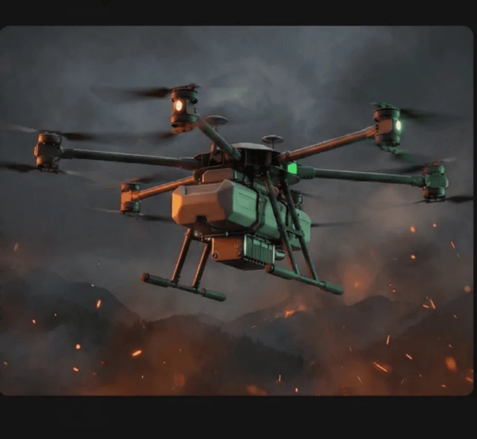
Large UAV High-altitude Firefighting Mission System
- Challenge: traditional firefighting is limited by terrain and response time — fire trucks cannot access steep mountains and large aircraft take long to dispatch.
- Solution: Goshawk heavy-lift platform integrated with an eco-friendly fire-extinguishing liquid spray system for low-altitude precision spraying.
- System specs: 20-liter payload capacity, 3,000 m flight altitude, IP45 waterproof rating.
- Modular retrofit: standard agricultural spray system converted for firefighting, enabling rapid mission reconfiguration.
- Validation: system integration and functional verification completed.
- Demonstrated capability: full-process delivery from platform selection and payload integration to system retrofit and mission validation.
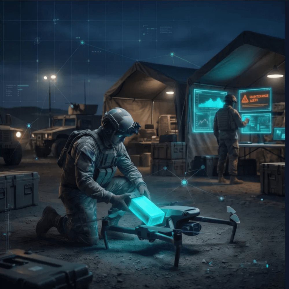
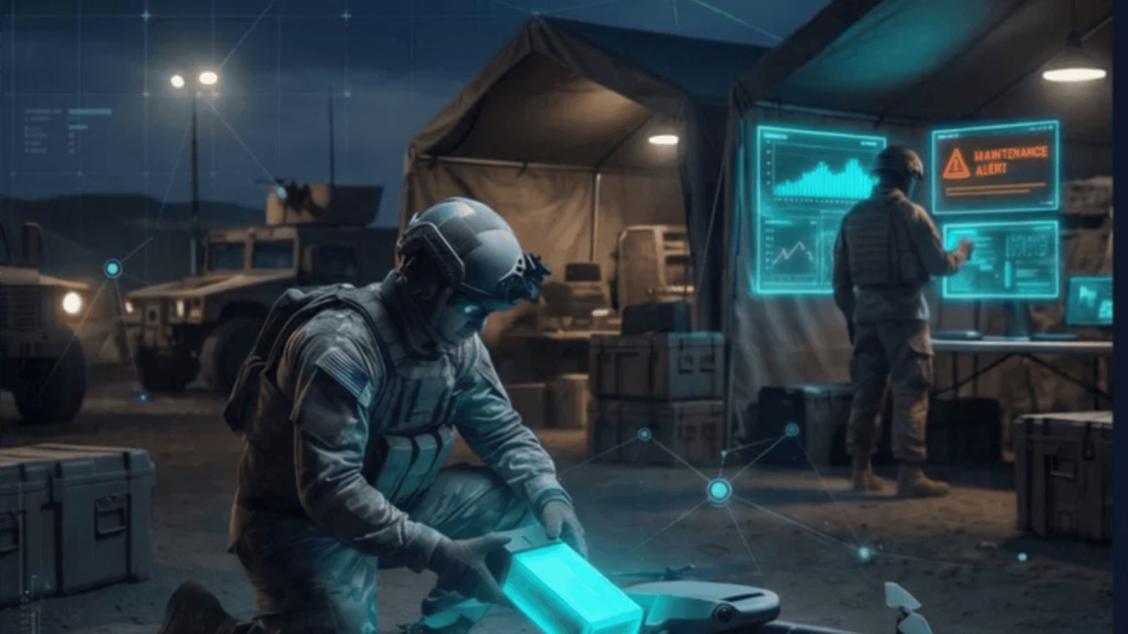
Integrated Tactical Quadcopter System
- Challenge: defense customers require tactical quadcopters capable of autonomous reconnaissance in complex, high-threat environments.
- Solution: tactical quadcopter platform integrated with Edge AI and military-grade secure communications.
- Edge AI: AIVO deployed on edge devices for real-time detection, target tracking, and autonomous decision support.
- System specs: high-speed maneuverability, encrypted data links, robust anti-jamming capability, rapid-deployment design.
- Validation: integrated capabilities demonstrated for defense clients.
Supply Chain Security
Non-red supply chain for critical components.
Per the customer's security level, we provide customized UAV systems that fully exclude red-supply-chain components — for defense, government, and sensitive commercial missions.
Flight Control System
NDAA-compliant, high-reliability flight controllers developed in Europe, the U.S., or Taiwan; secure firmware with no unauthorized data transmission and anti-spoofing GPS.
Communication & Video Link
Non-red RF modules and transceivers, AES-256 encrypted C2 links, secure anti-jamming SDR options.
Edge AI Computing
Trusted hardware platforms (NVIDIA, Axelera, Intel, Qualcomm) ensuring secure AI computing power that meets the highest information-security standards.
Optical & Sensor Payloads
High-end sensors, thermal imagers, and precision gimbals made in Taiwan and allied countries — eliminating backdoor and data-leak risks at the hardware source.
- Absolute information security
- Government procurement compliance
- Greatly reduced geopolitical risk
Specifications
Full specifications.
| Specification | Goshawk | Kestrel | Buzzard | Kite | Swift | Merlin | Albatross | Sparrowhawk |
|---|---|---|---|---|---|---|---|---|
| Working Dimensions (with propellers, L×W×H mm) | 1900 × 1900 × 660 | 420 × 420 × 65 | 1355 × 1360 × 625 | 872 × 870 × 115 | — | 475 × 545 × 105 | 1900 × 1900 × 660 | 560 × 560 × 65 |
| Folded Dimensions (with propellers, L×W×H mm) | 1000 × 1000 × 660 | — | 930 × 930 × 625 | — | — | 227 × 126 × 105 | 1000 × 1000 × 660 | — |
| Wheelbase | 1,400 mm | 350 mm | 1,050 mm | 650 mm | — | 435 mm | 1,400 mm | 450 mm |
| Propeller Size | 36 in | 7 in | 24 in | 15 in | 4 in | 8 in | 36 in | 10 in |
| Frame Weight (without payload) | 15,100 g | 750 g | 6.5 kg | 2.5 kg | 450 g | 990 g | 15 kg (approx.) | 1.05 kg |
| Flight Time (approx.) | — | 32 min | 35 min | 40 min | — | 30 min (data transmission only) | 10 min (full weight) | 36 min |
| Max Takeoff Weight (approx.) | 41,500 g | 3.25 kg | 16 kg | 5 kg | 600 g | — | 41.5 kg (approx.) | 3.55 kg |
| Full Load Flight Time (outdoor hover) | 10 min (safe voltage 42 V) | 8 min | 17 min | 15 min | 15 min | — | 10 min (full weight) | 10 min |
| Full Load Recommended Flight Time (outdoor hover) | — | 7 min | 16 min | 12 min | 12 min | — | — | 8 min |
| Max Horizontal Speed | 10 m/s | 9 m/s | 12 m/s | 15 m/s | 30 m/s | 9 m/s | 10 m/s | 9 m/s |
| Max Vertical Speed | 3 m/s | 3 m/s | 3 m/s | 3 m/s | 6 m/s | 3 m/s | 3 m/s | 3 m/s |
| Operating Temperature | 0°C ~ 50°C | -20°C ~ 50°C | -20°C ~ 50°C | -20°C ~ 50°C | -20°C ~ 50°C | -20°C ~ 50°C | -20°C ~ 50°C | -20°C ~ 50°C |
| Wind Resistance | Level 5 (10.7 m/s) | Level 5 (10.7 m/s) | Level 5 (10.7 m/s) | Level 5 (10.7 m/s) | Level 5 (10.7 m/s) | Level 5 (10.7 m/s) | Level 5 (10.7 m/s) | Level 5 (10.7 m/s) |
| Max Tilt Angle | 15° | 30° | 25° | 30° | 30° | 25° | 15° | 30° |
| Operating Mode | — | Manual, Acrobatic | Mission, Altitude-hold, GPS, Landing | Manual | Manual | Mission, Altitude-hold, GPS, Landing | Mission, Altitude-hold, GPS, Landing | Manual, Acrobatic |
| Nominal Voltage (V) | 44.4 ~ 50.4 | 22.2 | 44.4 | 22.2 | 22.2 | 16.8 | 44.4 | 22.2 |
| Battery Type | Li-ion | Li-ion | Li-ion | Li-ion | Li-ion | Li-ion | Li-ion | Li-ion |
| Rated Capacity (mAh) | 20,000 | 10,000 (approx. 900 g) | 20,000 × 2 (approx. 2,250 g × 2) | 10,000 (approx. 900 g) | 2,200 | 5,000 | 20,000 × 2 (approx. 2,250 g × 2) | 10,000 (approx. 900 g) |
| Payload Capacity | 20 L | — | — | — | — | — | — | — |
| Waterproof Rating | IP45 | — | — | — | — | — | — | — |
| Max Altitude | 3,000 m | — | — | — | — | — | — | — |
| Frame Weight (with C10 Gimbal) | — | — | — | — | — | 1,055 g | — | — |
| Flight Time with C10 (outdoor hover) | — | — | — | — | — | 27 min (data & video transmission on) | — | — |
| Frame Weight (with C12 Gimbal) | — | — | — | — | — | 1,110 g | — | — |
| Flight Time with C12 (outdoor hover) | — | — | — | — | — | 25 min (data & video transmission on) | — | — |
Remote control / communication / camera: 2.4 GHz & 5.8 GHz digital link, communication range >3 km (no interference), camera 1280×720 @ 30 fps, with GPS, altimeter and compass flight indicators.
We don't just sell drones — we deliver drones that complete your mission.
Vertical mission system supplier · Full-stack software-hardware integration · Non-red supply chain for critical components